VK3HJQ
![]()

Old Tallangatta Page
TALLANGATTA, THE TOWN THAT MOVED IN THE 50'S
|
Standing on the Murray Valley Highway looking across the site of Old Tallangatta towards Toorak, the rejected relocation site. Usually this site is under water. |
The sign detailing the history of Tallangatta, and a map showing the streets and layout of the old Town. |
EIGHT Kms EAST OF TALLANGATTA IS THE SITE
OF OLD TALLANGATTA.
IT IS MARKED WITH A CAIRN AND A SIGN BOARD, AS ABOVE.
In 1918 the River Murray Commission selected the confluence of the Mitta Mitta and Murray Rivers, upstream of Albury Wodonga, as the site for a major reservoir, Hume, to provide reliable water for annual irrigation downstream.
Whilst it was known from the start that the reservoir would ultimately inundate Tallangatta, the first stage completed in 1936, left Tallangatta untouched.

Hume Dam
The uncertainty over the future of the town impeded growth, and as early as 1927 the progress association urged the shire to seek a decision about the town's future.
Discussion on moving the town recommenced in the late 40's. two locations were considered. Toorak, which can be seen from the sign above across the valley, was the choice of locals because it would leave the town more or less in the same position.
But the government rejected this proposal in case a future capacity increase of the reservoir flooded Toorak. They also believed the flats of Tallangatta Creek fronting the town would be unsightly when the shallow water drained away during dry periods.
Bolga, a rail siding 8 kilometres to the west, and well above the level of the water of the enlarged reservoir was chosen and the moving of almost a whole town commenced in 1954. The town's population at this time was 950. Whilst most timber buildings were moved, brick houses and other buildings like hotels, halls and churches were demolished.
At Bolga, a new shopping precinct was constructed fronting two large triangles of parkland.
The New Tallangatta was officially opened in June, 1956. The move was not without considerable pain as families were forced to leave their historic ties and a town whose social system had developed over one hundred years.
Written on the signpost above:-
Below this signpost:-
During dry periods the water level here drops revealing the site of old Tallangatta. The most obvious features are the main street, the diagonal road to Toorak and the old railway embankment. Toorak, a short drive across the causeway, still contains the former Hospital and the former Tallangatta Butter Factory.
The Tallangatta 50's Festival is held in November each year to commemorate the moving of the town.
|
View of Tallangatta from the nearby Lookout. No water in the Hume Weir.
|
The same view with the Hume Weir at over 50% full. . |

This picture shows the Autumn trees in the Triangles of Tallangatta's Main Street, ( Towong Street ).
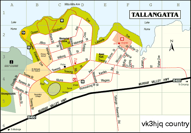
Map of vk3hjq country.
VK3HJQ Home Page

© vk3hjq 2001-2022 All Rights Reserved. vk3hjq@hotmail.com


